Devon · PL21
Missing dog search in Ivybridge
A drone search out of Ivybridge, where housing estates back directly onto the open southern edge of Dartmoor, so a dog can be on the moor within minutes of bolting from a garden.
From a housing estate to open moor in minutes
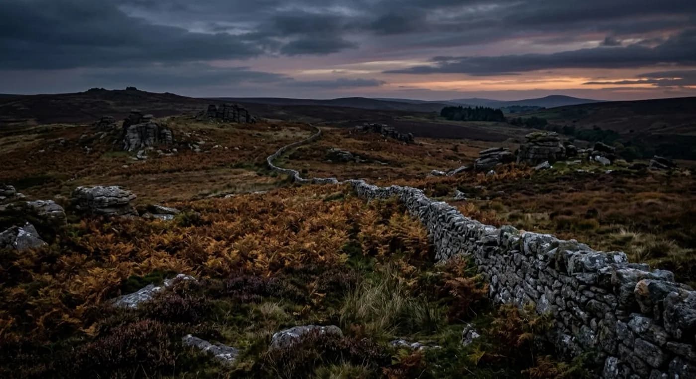
Ivybridge is mostly a modern commuter town, built up fast from the 1970s onward, and its northern edge runs straight into Dartmoor, which drops steeply down to meet it. That means a dog that gets loose anywhere in the northern part of town can be on particularly open, remote moorland within a few minutes, well before anyone on foot has finished checking the immediate street.
That drop in height between the moor edge and the town is sharp enough that the search often starts by working the boundary itself, the fences, the last gardens and the point where tarmac gives way to open access land, before opening out onto the moor proper.
The Erme valley and the Two Moors Way
The River Erme runs through the town and out onto the moor, and the Two Moors Way long-distance path follows a similar line north. Both are obvious, low-resistance routes for a dog that is running rather than hiding, and a search pattern here usually checks the valley and the path line early, because it is the path of least effort across really rough ground.
The old viaduct and the wooded valley sides around it give some cover close to town, which is worth knowing if the dog is more likely to be hiding than running, since that changes where the first pass concentrates.
Wind funnelled down the valley
The moor-edge position means Ivybridge takes strong, gusting wind funnelled straight down the Erme valley, which can be considerably worse here than the general forecast for South Devon suggests. That gets checked properly on the day, because a valley that funnels wind can ground a flight here when a flatter town a few miles away would still be flyable.
A town built in one generation, and what that means for a search
Ivybridge is overwhelmingly a late twentieth century commuter town, with large estates built through the 1970s, 1980s and 1990s and continuing new development since. Estates of this age share a particular layout: closes and cul-de-sacs linked by short footpaths between the ends of gardens, which give a dog a quick way to move between streets without crossing a road, and which a person walking the pavements can easily miss. Those footpaths and garden boundaries are checked early, because a dog can cross several streets this way before anyone realises it has left the original garden.
The small historic core around the old bridge and mill is a different, older kind of ground, tighter and more enclosed, and worth checking on its own terms if the dog was last seen there rather than on one of the newer estates. Beyond the town, the search widens towards Plymouth, Totnes, Kingsbridge or Tavistock depending on which direction makes sense from the last sighting, in addition to the moor edge covered above.
Behind the search
What a Ivybridge search is actually buying
CAA registered
Operator ID and Flyer ID held, plus the A2 Certificate of Competency, which is what allows closer, faster operation near buildings, hedges and people than the basic category allows.
Radiometric thermal
A DJI Mavic 2 Enterprise Advanced carrying a 640 by 512 thermal camera. This is the aircraft that goes up first at dawn, dusk and after dark, when a warm body shows against cooling ground.
100 megapixel daylight camera
A DJI Mavic 4 Pro with a Hasselblad camera and 6K video, for wide daylight coverage of open ground at a resolution that holds up when a distant shape needs checking properly.
Insured with Coverdrone
Full commercial cover for the operation. The certificate is available on request, without anyone having to chase for it.
Nearby
Also covered around Ivybridge
- PlymouthA drone search out of Plymouth, a hilly naval city where the open green of the Hoe sits close against steep streets that fall straight to the water on more than one side.
- TotnesA drone search out of Totnes, a steep hill town at the tidal limit of the Dart, with the wooded Dartington Hall estate close by, an obvious place for a frightened dog to hide.
- KingsbridgeA drone search out of Kingsbridge, at the head of a tidal creek system spreading south through the South Hams, where the water's edge branches further than a search on foot can cover.
- TavistockA drone search out of Tavistock, where wooded Tamar valley falls away west and open Dartmoor rises immediately east, two different kinds of ground either side of town.
See how a search works
Fixed price, call now in Ivybridge
Ring with the last known location and roughly when. Sam Hembury will come back with next steps and, where conditions allow, be in the air the same day.