Devon · EX20
Missing dog search in Okehampton
A drone search out of Okehampton, where the streets stop and open Dartmoor starts within a few hundred metres, up towards Yes Tor and High Willhays.
Where the town ends and the moor begins
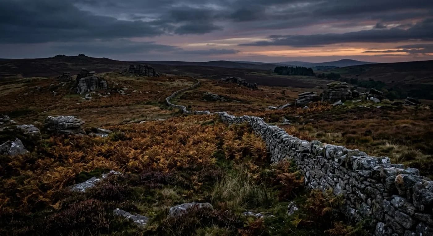
Okehampton sits right against the northern edge of Dartmoor, with Yes Tor and High Willhays rising almost immediately south of the town. A dog that slips a lead here does not have far to go before it is on open access land, and that is both the good news and the bad news: the ground is exactly the kind a drone covers fastest, but it is also big, featureless from ground level, and easy for a person on foot to search the wrong stretch of.
The East and West Okement rivers meet close to the town, and both valleys give a dog an obvious, low-effort route to follow away from wherever it started. A search pattern here usually starts along the river lines before opening out onto the moor proper, because a frightened animal tends to follow the easiest ground rather than strike out across open country.
Granite outcrops, gorse and bracken cover a lot of this ground, and none of it is any trouble for a thermal camera the way it would be for a person trying to scan the same hillside with binoculars from a car park.
Weather that decides the flight, not just the walk
This is really one of the wettest, windiest towns in the whole network's coverage area, because Dartmoor forces Atlantic air straight up as soon as it reaches the high ground. That matters for a search more than almost anywhere else on this list: high wind grounds the aircraft here more often than it does on lower, more sheltered ground, and that gets said plainly on the day rather than promising a flight that will not be safe.
The upside is what that same weather does for thermal contrast. Wet, cold moorland loses heat fast, so a dog's body temperature stands out clearly against it, especially in the hour either side of dawn or dusk when the ground has had the longest to cool.
Farmland, longhouses and livestock
The parishes around Okehampton carry scattered moorland farms and longhouses, and a search that crosses working farmland needs the landowner's agreement before the aircraft goes up, not least because livestock and a loose dog is its own separate problem worth mentioning on the phone. Getting that permission sorted early is usually what actually decides how quickly a search can start here, more than the flying itself.
Meldon Viaduct and the old railway line give a dog a clear, walkable route away from the built-up part of town, and it is one of the first lines checked when a search starts from the western side of Okehampton.
Behind the search
What a Okehampton search is actually buying
CAA registered
Operator ID and Flyer ID held, plus the A2 Certificate of Competency, which is what allows closer, faster operation near buildings, hedges and people than the basic category allows.
Radiometric thermal
A DJI Mavic 2 Enterprise Advanced carrying a 640 by 512 thermal camera. This is the aircraft that goes up first at dawn, dusk and after dark, when a warm body shows against cooling ground.
100 megapixel daylight camera
A DJI Mavic 4 Pro with a Hasselblad camera and 6K video, for wide daylight coverage of open ground at a resolution that holds up when a distant shape needs checking properly.
Insured with Coverdrone
Full commercial cover for the operation. The certificate is available on request, without anyone having to chase for it.
Nearby
Also covered around Okehampton
- TavistockA drone search out of Tavistock, where wooded Tamar valley falls away west and open Dartmoor rises immediately east, two different kinds of ground either side of town.
- CreditonA drone search out of Crediton, surrounded by some of the most productive farmland in Devon, big hedged fields and working farms in every direction from the Creedy valley.
- ExeterA drone search out of Exeter, a city where a missing dog is more likely to have bolted into a park, along the river or onto an industrial estate edge than out into open countryside.
See how a search works
Fixed price, call now in Okehampton
Ring with the last known location and roughly when. Sam Hembury will come back with next steps and, where conditions allow, be in the air the same day.