Devon · EX13
Missing dog search in Axminster
A drone search out of Axminster, a hilltop town where the ground drops away to the Axe valley on three sides, so the direction a dog has gone can be almost any way at all.
A hilltop with the ground falling away on three sides
Axminster sits on high ground with the Axe valley dropping away below it in three directions, which means there is no single obvious way for a missing dog to have gone, unlike a valley town where the river usually decides the search's shape. A search pattern here has to consider all three slopes and start by working out, from where the dog was last seen and which way it was facing, which drop is especially the most likely.
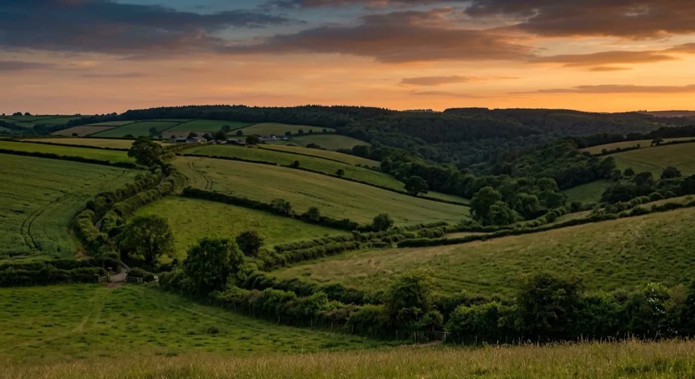
The Axe valley farmland below the town is open and hedged, similar ground to much of East Devon, and once the search commits to a direction it covers that farmland quickly and methodically, checking gateways, field corners and the tree lines along the river.
Wind from every quarter
The exposed hilltop position leaves Axminster open to wind from more or less any direction, which is different from a valley town that is mainly sheltered except when the wind comes from one particular quarter. That means conditions here get checked specifically rather than assumed from a neighbouring town's forecast, and a flight that would be fine in the sheltered valley below can be marginal on the exposed high ground around the church and market square.
The river and the old mill buildings
The River Axe and the former mill and carpet factory buildings along it give a dog both an obvious water line to follow and some noticeably awkward, part-derelict ground to hide in close to the town centre, and that combination is usually checked early, before the search widens out into the open valley farmland beyond.
Around the market square, and the estates on higher ground
The Georgian and Victorian centre around the church and market square is dense, historic ground, and the former mill and carpet factory buildings nearby add awkward, part-industrial cover close to the town itself, worth checking before the search commits to open valley farmland. A dog that has ducked into one of these old buildings or yards can sit still for a long time without being seen from a pavement.
The post-war estates on the higher ground north of the town are a more open, conventional layout, and a dog loose from one of those is checked street by street before the search opens out onto whichever of the three valley slopes seems most likely. From there, Honiton, Seaton, Lyme Regis and Chard are the nearest towns worth widening towards if nothing turns up close in.
The Minster Church of St Mary and Trinity Square, right in the middle of the old town, are useful landmarks for anyone arriving to help with the search on the ground, and the postcode area, EX13, is checked against any airspace restrictions before the aircraft leaves. Between the church, the market square and the river below, there is a compact area to rule out before committing to one of the three valley directions.
Behind the search
What a Axminster search is actually buying
CAA registered
Operator ID and Flyer ID held, plus the A2 Certificate of Competency, which is what allows closer, faster operation near buildings, hedges and people than the basic category allows.
Radiometric thermal
A DJI Mavic 2 Enterprise Advanced carrying a 640 by 512 thermal camera. This is the aircraft that goes up first at dawn, dusk and after dark, when a warm body shows against cooling ground.
100 megapixel daylight camera
A DJI Mavic 4 Pro with a Hasselblad camera and 6K video, for wide daylight coverage of open ground at a resolution that holds up when a distant shape needs checking properly.
Insured with Coverdrone
Full commercial cover for the operation. The certificate is available on request, without anyone having to chase for it.
Nearby
Also covered around Axminster
- HonitonA drone search out of Honiton, a long town squeezed along the Otter valley with the Blackdown Hills rising steeply behind it, where fog can decide when a search flies.
- SeatonA drone search out of Seaton, with open Axe estuary marshes to the east and the dense, ancient Undercliff woodland to the west, two of the most different search grounds here.
See how a search works
Fixed price, call now in Axminster
Ring with the last known location and roughly when. Sam Hembury will come back with next steps and, where conditions allow, be in the air the same day.