Devon · EX15
Missing dog search in Cullompton
A drone search out of Cullompton, flat Culm valley farmland split by the M5, where the motorway itself is the first thing a search has to think about.
Flat farmland either side of a motorway
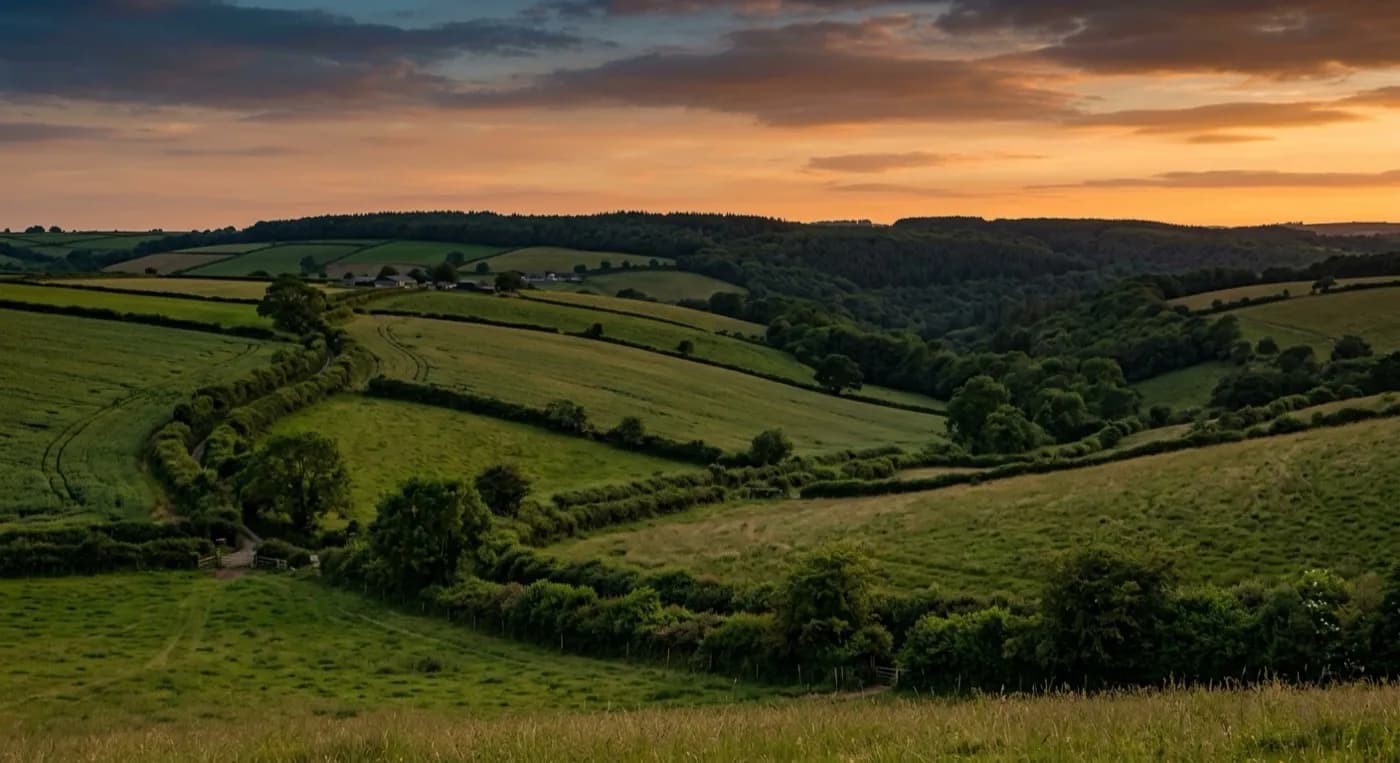
Cullompton sits on flat ground in the Culm valley, right beside the M5 corridor, with the Blackdown Hills to the east and rolling Mid Devon farmland to the west. The flat, open nature of the ground either side of the town is properly good for a drone search, wide fields with clear boundaries that the aircraft can cover fast, but the motorway changes the priority: a dog anywhere near it is an urgent safety concern in its own right, and that gets checked and reported on first, before anything else.
Once the motorway corridor is accounted for, the search works the flat farmland either side of it in the same methodical, field-by-field way as anywhere else with this kind of open ground.
A valley floor that holds damp and frost
The Culm valley floor holds damp air and frost more readily than the higher ground around it, and cold, still, frosty conditions are some of the best a thermal camera gets, because the ground temperature drops well below a dog's body heat and the contrast is sharp and easy to read. A search timed for a cold morning here, once any fog has cleared, tends to produce a particularly clear thermal picture.
Fore Street to open country, fast
The medieval and Georgian core along Fore Street gives way quickly to cob and thatch lanes and then open farmland, so a dog missing from the older part of town does not have far to travel before it is in really open, huntable ground, which is exactly where a drone search adds the most over a search on foot.
Fore Street's older lanes against the newer estates around them
Cullompton's medieval and Georgian core along Fore Street carries cob and thatch cottages in tight lanes, noticeably older and more enclosed ground than the large volume of late twentieth century estate housing that surrounds it and the new-build expansion still continuing on the edges of the town. A dog loose from one of the older lanes is checked through that close, historic tangle first; one loose from a newer estate is more likely to be working its way along the modern street pattern towards the motorway corridor or the open Culm valley beyond it.
Knowing which kind of address the dog went missing from changes where the first pass concentrates, before the search opens out onto the flat farmland either side of the M5 covered above. Tiverton, Exeter, Honiton and Wellington are the nearest towns to widen towards if the search needs to grow.
St Andrew's Church and The Walronds, close to Fore Street, are useful meeting points if several people are converging on the search from different directions, and the M5 at junction 28 is checked first and specifically for the reason given above, ahead of the wider Culm valley farmland either side of it.
Behind the search
What a Cullompton search is actually buying
CAA registered
Operator ID and Flyer ID held, plus the A2 Certificate of Competency, which is what allows closer, faster operation near buildings, hedges and people than the basic category allows.
Radiometric thermal
A DJI Mavic 2 Enterprise Advanced carrying a 640 by 512 thermal camera. This is the aircraft that goes up first at dawn, dusk and after dark, when a warm body shows against cooling ground.
100 megapixel daylight camera
A DJI Mavic 4 Pro with a Hasselblad camera and 6K video, for wide daylight coverage of open ground at a resolution that holds up when a distant shape needs checking properly.
Insured with Coverdrone
Full commercial cover for the operation. The certificate is available on request, without anyone having to chase for it.
Nearby
Also covered around Cullompton
- TivertonA drone search out of Tiverton, where steep streets fall to the meeting of the Exe and Lowman, and the Grand Western Canal towpath gives a dog an obvious, easy route out of town.
- ExeterA drone search out of Exeter, a city where a missing dog is more likely to have bolted into a park, along the river or onto an industrial estate edge than out into open countryside.
- HonitonA drone search out of Honiton, a long town squeezed along the Otter valley with the Blackdown Hills rising steeply behind it, where fog can decide when a search flies.
See how a search works
Fixed price, call now in Cullompton
Ring with the last known location and roughly when. Sam Hembury will come back with next steps and, where conditions allow, be in the air the same day.