Devon · TQ7
Missing dog search in Kingsbridge
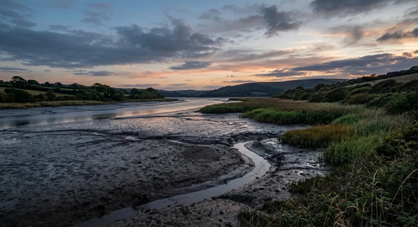
A drone search out of Kingsbridge, at the head of a tidal creek system spreading south through the South Hams, where the water's edge branches further than a search on foot can cover.
A creek system, not a single river
Kingsbridge sits at the head of an estuary that branches into a whole system of tidal creeks spreading south through the South Hams, rather than a single obvious watercourse. That matters for a search: there is no one river line to follow, and a dog could have gone down any one of several creeks, each with its own mudflats, scrub and field edges. The aircraft's overhead view is really useful here because it can check several branches of the creek system in the time a search on foot would spend committing to just one.
A steep town falling to the quay
Fore Street climbs hard from the quay, and a dog running downhill from the upper town tends to end up at the water fairly directly, so the quayside and the first stretch of creek below it are usually checked early, on the same reasoning as any steep town where gravity does some of the work.
Farmland across the wider South Hams
Beyond the immediate town, the surrounding South Hams AONB is a mix of farmhouses, hedged fields and quiet lanes, and where a search needs to cross working farmland here, landowner permission is sought in the same way as anywhere else in this predominantly agricultural part of Devon.
Townhouses on the hill, and farmhouses beyond the town
The Georgian and Victorian townhouses climbing the hill from the quay, and the slate-hung and rendered cottages among them, are tightly packed with small yards, and a dog loose from one of these tends to be checked yard by yard on the way down towards the water covered above, since gravity does much of the work on streets this steep. The modern housing on the upper edges of the town is a more open, conventional layout, with proper gardens and easier access to the surrounding fields.
Beyond the town, farmhouses spread across the surrounding South Hams, and where the search reaches one of these, landowner permission is sought in the usual way before the aircraft crosses working land. Salcombe, Totnes, Dartmouth and Ivybridge are the nearest towns to widen towards from Kingsbridge.
Fore Street itself and the Salcombe road out of town are useful reference points for anyone describing where the search is starting from, and the wider South Hams AONB surrounding Kingsbridge is properly rural, low-traffic ground where a dog can cover real distance along quiet lanes without anyone noticing, which is exactly the kind of ground the aircraft covers fastest once a direction has been chosen, and where landowner permission across more than one farm is often the practical limit on how quickly a search can properly get moving.
Behind the search
What a Kingsbridge search is actually buying
CAA registered
Operator ID and Flyer ID held, plus the A2 Certificate of Competency, which is what allows closer, faster operation near buildings, hedges and people than the basic category allows.
Radiometric thermal
A DJI Mavic 2 Enterprise Advanced carrying a 640 by 512 thermal camera. This is the aircraft that goes up first at dawn, dusk and after dark, when a warm body shows against cooling ground.
100 megapixel daylight camera
A DJI Mavic 4 Pro with a Hasselblad camera and 6K video, for wide daylight coverage of open ground at a resolution that holds up when a distant shape needs checking properly.
Insured with Coverdrone
Full commercial cover for the operation. The certificate is available on request, without anyone having to chase for it.
Nearby
Also covered around Kingsbridge
- TotnesA drone search out of Totnes, a steep hill town at the tidal limit of the Dart, with the wooded Dartington Hall estate close by, an obvious place for a frightened dog to hide.
- IvybridgeA drone search out of Ivybridge, where housing estates back directly onto the open southern edge of Dartmoor, so a dog can be on the moor within minutes of bolting from a garden.
See how a search works
Fixed price, call now in Kingsbridge
Ring with the last known location and roughly when. Sam Hembury will come back with next steps and, where conditions allow, be in the air the same day.